Location: South-central Washington
Designated: 2021
Total Size: 16,870 acres
Acreage Under Vine: 1,500 acres (607 hectares)
Top Varieties: Cabernet Sauvignon
Soils: Fine sand along with silt and sandy loam
Average Annual Precipitation: 8-9 inches
Two Things to Know:
- It’s a warm appellation that acts like a cool one.
- It receives more precipitation than many other areas of Columbia Valley.
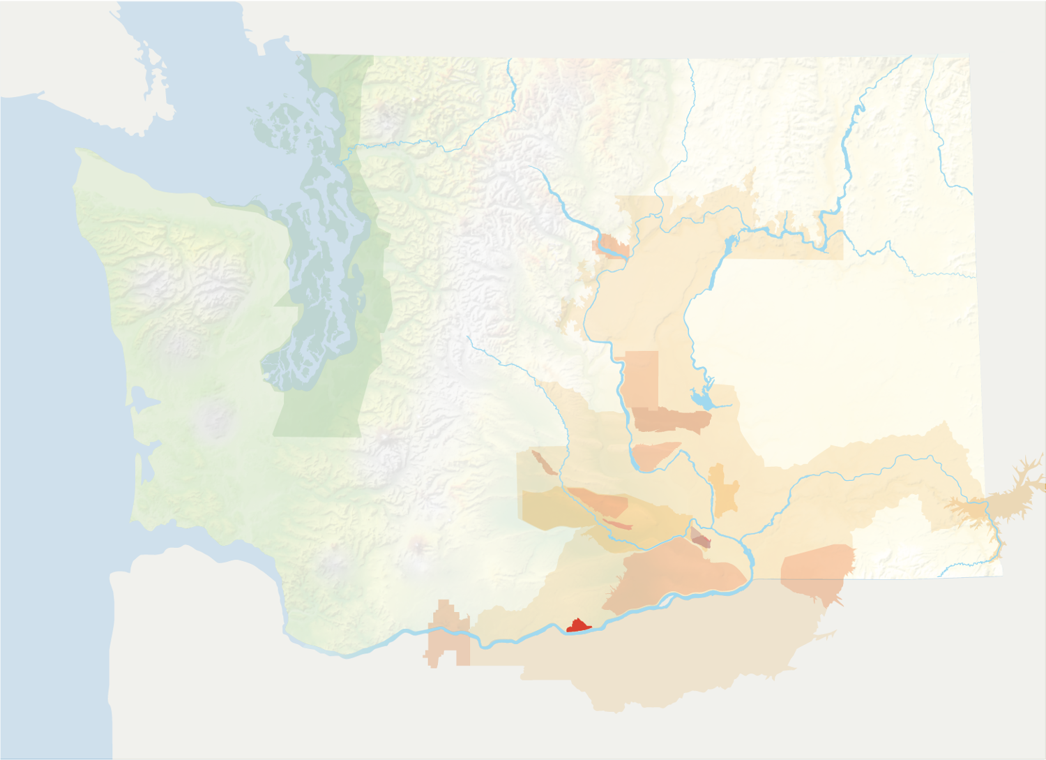
The Burn of Columbia Valley is located in south-central Washington, west of Horse Heaven Hills. The triangle-shaped appellation is wholly contained within the larger Columbia Valley.

The origins of the name “The Burn” are unclear. It has been used to refer to this region for over 100 years.
The Burn is a warm appellation that acts in some respects more like a cool one. The Burn is slightly warmer than many of the immediate surrounding areas, with an average of 2763 Growing Degree Days. This is slightly above average for the larger Columbia Valley. The Burn also accumulates its heat over a longer season.
However, due to its proximity to the Columbia Gorge, persistent winds whip through the region. This delays development during the growing season and also reduces canopy and berry size. This makes it seem like a cooler appellation than it actually is, with fruit among the last to come in during harvest.
The Burn is also a slightly wetter region, receiving an average of 8.76 inches of precipitation annually compared to Columbia Valley’s 6-8 inches.
The soils are predominantly Walla Walla Silt Loam in arable areas. This is a slightly heavier soil relative to the surrounding region with increased water-holding capacity.
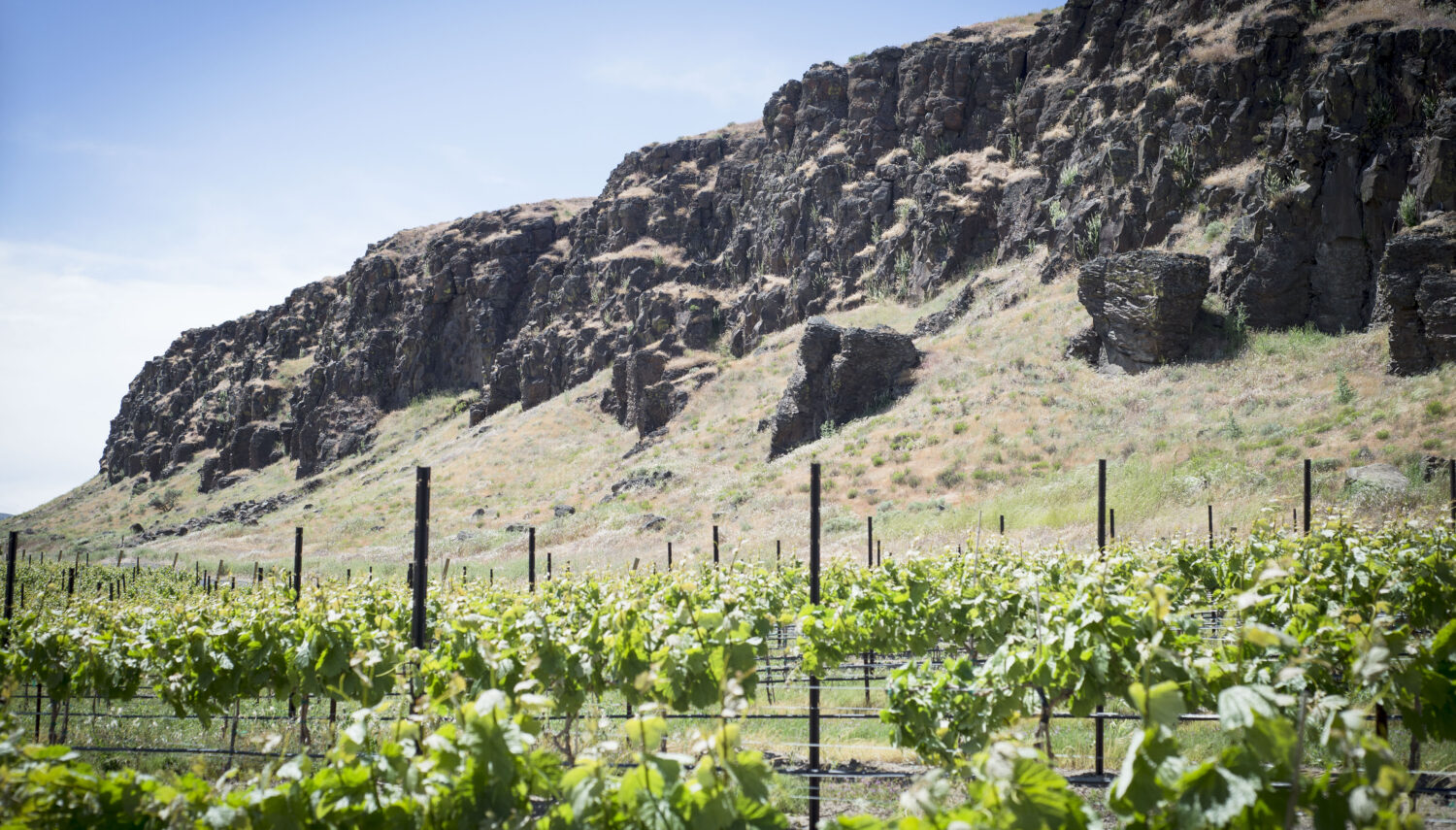
Finally, the appellation has distinct topographic features, lying on generally southeast-facing benches above the Columbia River, which forms one of its borders. It has a gentle slope that averages just over 7% grade.
The Burn is a younger growing region. Almost all of its acreage has been planted since 2015. A small number of plantings, however, date back to 2002. Cabernet Sauvignon is the main variety planted.

