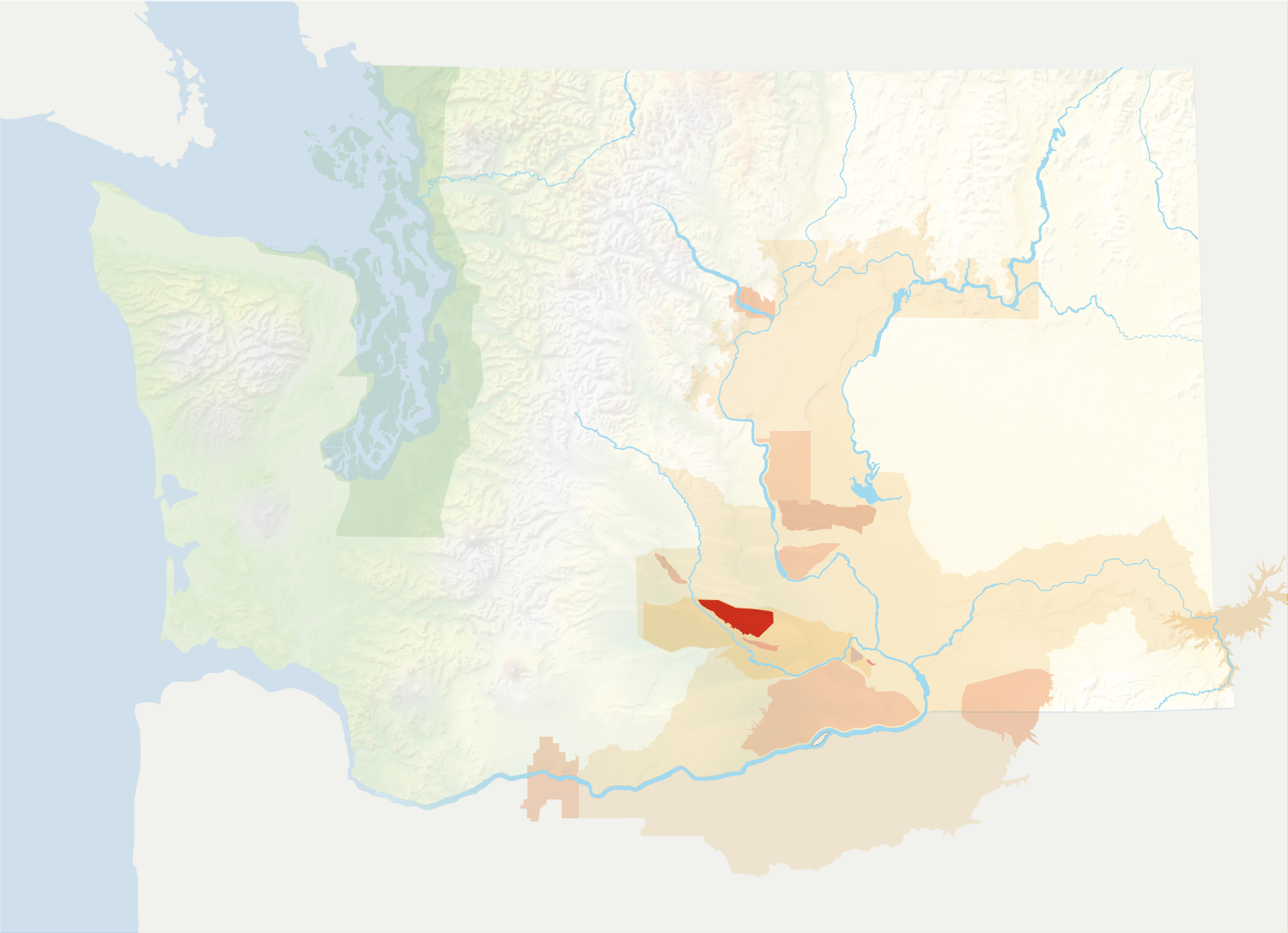
Location: South-central Washington
Designated: 2006
Total Size: 68,500 acres
Acreage Under Vine: 1,807 acres (731 hectares)
Top Varieties: Merlot, Cabernet Sauvignon, Syrah, Riesling
Soils: Silt loam and loam
Average Annual Precipitation: 6-12 inches
Two Things to Know:
- Rattlesnake Hills is generally higher in elevation than the Yakima Valley as a whole.
- About half of the appellation is underlain by Ellensburg Formation sedimentary deposits.
Located in south-central Washington, the east-west trending Rattlesnake Hills are an anticline of the Yakima Fold Belt, a series of geologic folds that define a number of viticultural regions in Washington. The appellation, which is centered around the town of Zillah, lies on the south slope of the Rattlesnake Hills. It is a sub-appellation of Yakima Valley, which itself is a sub-appellation of the Columbia Valley.
The Rattlesnake Hills receive their name from their proximity to Rattlesnake Mountain, which itself is named after the Northern Pacific Rattlesnake.
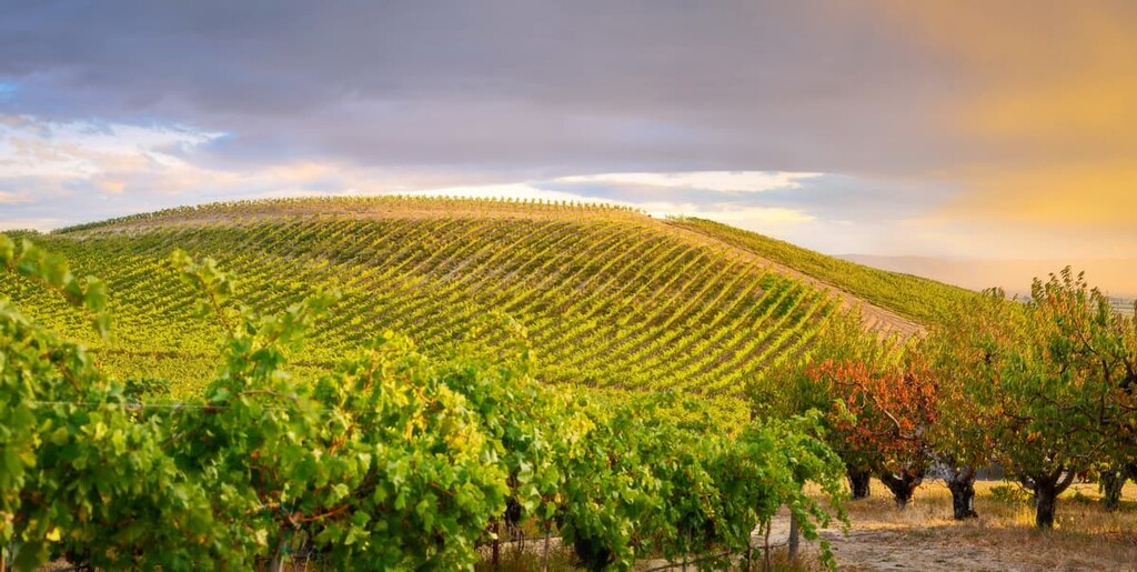
One of the appellation’s distinguishing features is its elevation relative to the surrounding area. Elevations range from 850 feet to 3,085 feet, although vineyard plantings are limited to the lower-lying areas. The appellation’s heightened elevation lessens the risk of spring and fall frosts. Additionally, winter temperatures are warmer than the surrounding area, limiting the danger of hard freezes.

About half of the appellation is underlain by Ellensburg Formation sedimentary deposits. This is sedimentary rock formed from the erosion of rock in the Cascade volcanoes. The predominant soil types are silt-loam and loam. Notably, vineyards at higher elevations are above the levels of the Missoula Floods, a series of cataclysmic events that define much of the Columbia Valley.
As a growing region, Rattlesnake Hills is fairly evenly split between red and white wine grape varieties, with reds having an edge.
The earliest vines at Rattlesnake Hills were planted in 1968.

